The first wayfinding solution for all types of disabilities in subways
Our promise: to guide users with disabilities in the subway, from the entrance of a station to the exit of another station, by providing step-by-step instructions.
.png?width=500&height=500&name=Evelity%20for%20transport%20(1).png)
The smartphone for inclusive and universal mobility
A metro network is a dynamic and complex environment. Travelers with disabilities must be able to navigate in a simple, safe and above all completely autonomous way !
Evelity provides interfaces, routes and instructions adapted to each user profile.
Evelity: digital technology for autonomous mobility
A wayfinding solution created for people with disabilities that benefits EVERYONE
With a stroller or luggage, in a moment of stress, in an unknown or even foreign metro network, who has never been disoriented ?
The subway a place that must be accessible to all
Think big, go further and offer your disabled travelers a digital solution dedicated to their mobility and...
- Keep your travelers safe and secure within your metro network
- Limit the stress of all your travelers
- Optimize alternative transportation for disabled people
- Reduce the costs related to the physical assistance of your passengers
- Bet on a discreet solution (no work required)
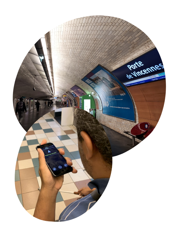
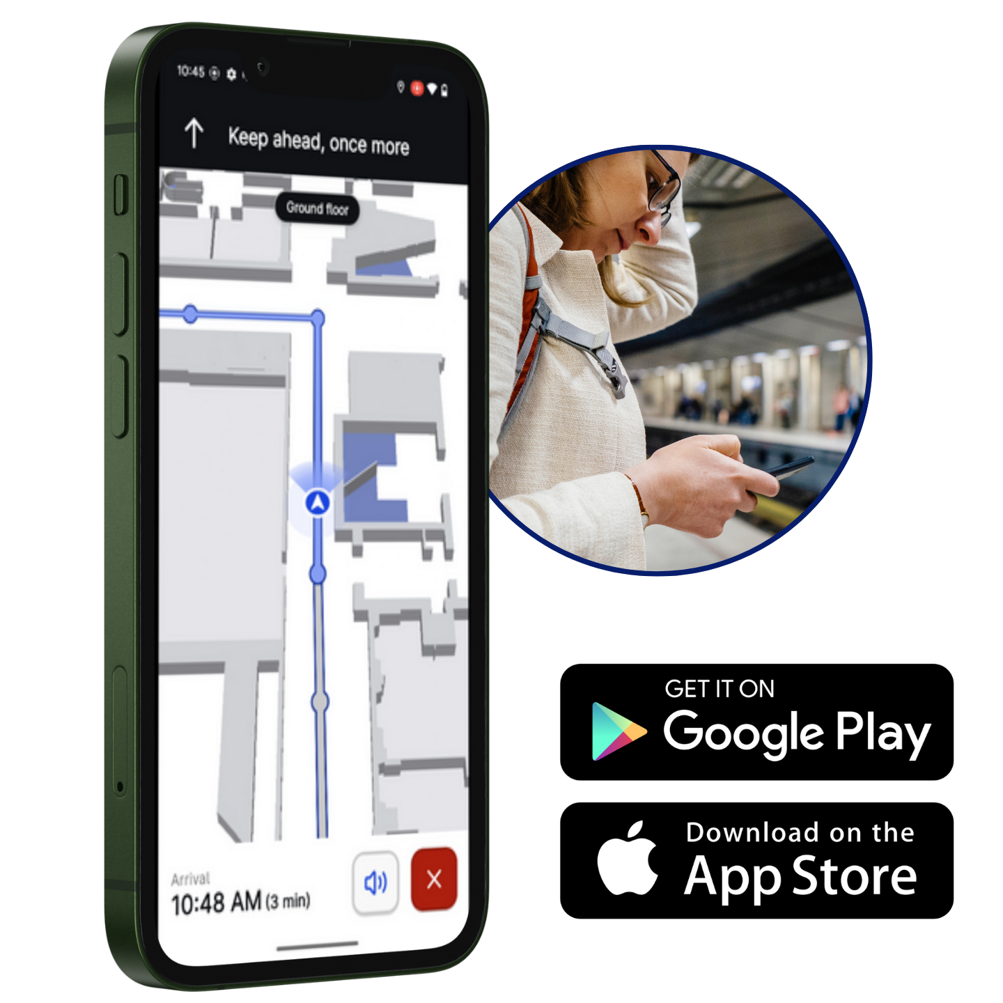
A user experience built with +50 beta testers
Evelity answers the main needs of people with disabilities:
- Be guided step by step in the subway like a pedestrian GPS
- Gain autonomy and spontaneity
- Discover points of interest (POI)
- Get from one point to another in complete safety
- An application that adapts to the disability
- And above all, one that integrates into its eco-system
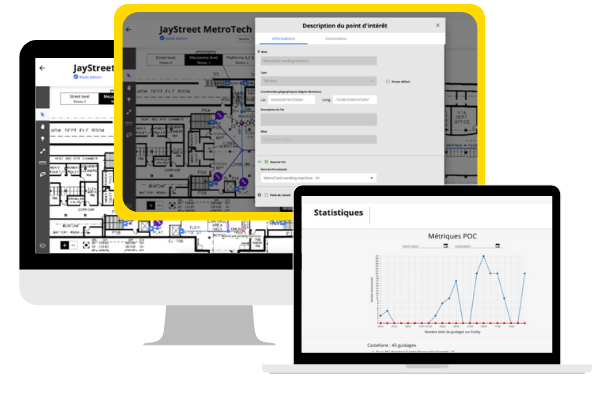
A backoffice to manage and adapt the solution
We set up the solution and manage its maintenance :
- Creation and modification of the beacon network infrastructure on plan
- Statistics and user monitoring "in real time"
- Add and modify points of interest
- Implementation of traffic disruption informations
Shall we tell you a little more ?
Okeenea : who are we ?
Okeenea Digital is a subsidiary of the Okeenea Group, specialists in the conception and supply of accessibility solutions since 1993 ! Among other things, we invented the audible beacons for traffic lights. For the past 2 years, we have been innovating with the Evelity digital indoor guidance solution for all types of disability, for all types of public buildings.
How does Evelity work ?
Within Evelity, we provide a turnkey solution allowing precise mapping and navigation inside your building open to the public.
But concretely, how does it work ? Our team studies the plans of your metro stations and defines the implementation of a network of bluetooth beacons. Thanks to these beacons, we can guide your travelers from a point A to a point B.
We integrate a technological layer of type "sensor fusion" allowing the localization of the user's smartphone by integrating a network of beacons (bluetooth beacons) and the GPS to treat the surroundings of the buildings. We add algorithms to the geographical data sources to associate the "raw" position with its "probable" position on a location. This is the indoor geolocation technology.
Building open to public : micro-location VS indoor geolocation
Micro-location in building open to public is a limited technology that allows to locate a person when he is close to a beacon (point of interest or landmark). It does not allow a precise and continuous indoor wayfinding.
Indoor geolocation, on the other hand, allows indoor navigation like a GPS, with an accuracy of 1m50 and step-by-step instructions. With Evelity, this is the technology we use, recommend and improve every day.
How long will it take to deploy the solution ?
A few days per station multiplied by the number of stations. The more stations are deployed at the same time, the more the time per station decreases.
- Recovery of maps and POIs to cover
- Location scouting
- Implementation plan of the infrastructure
- Validation by the client
- Installation of beacons and settings
- Creation and routing of locations in the application
- Tests and settings
- It's delivered!
Is an experimental period possible ?
Yes, of course. We are talking about a "pilot" with ideally two or three stations equipped. The objective is to demonstrate the solution to your metro network and to exchange with local users before working on a larger deployment.
How does user testing work ?
During the trial phase, if chosen by the client, a user test is conducted in collaboration between Okeenea Digital, the client, and local visually impaired associations on a voluntary basis.
We recruit 8 to 12 visually disabled people with different demographics. Most of the people are members of a visually impaired association in order to be representative of the local users exchanging with the operator.
Field tests last on average 1 hour per user (handover, itinerary, route and questionnary). Contact us for more information !


